 Get a quote
Every hectare,
measured true.
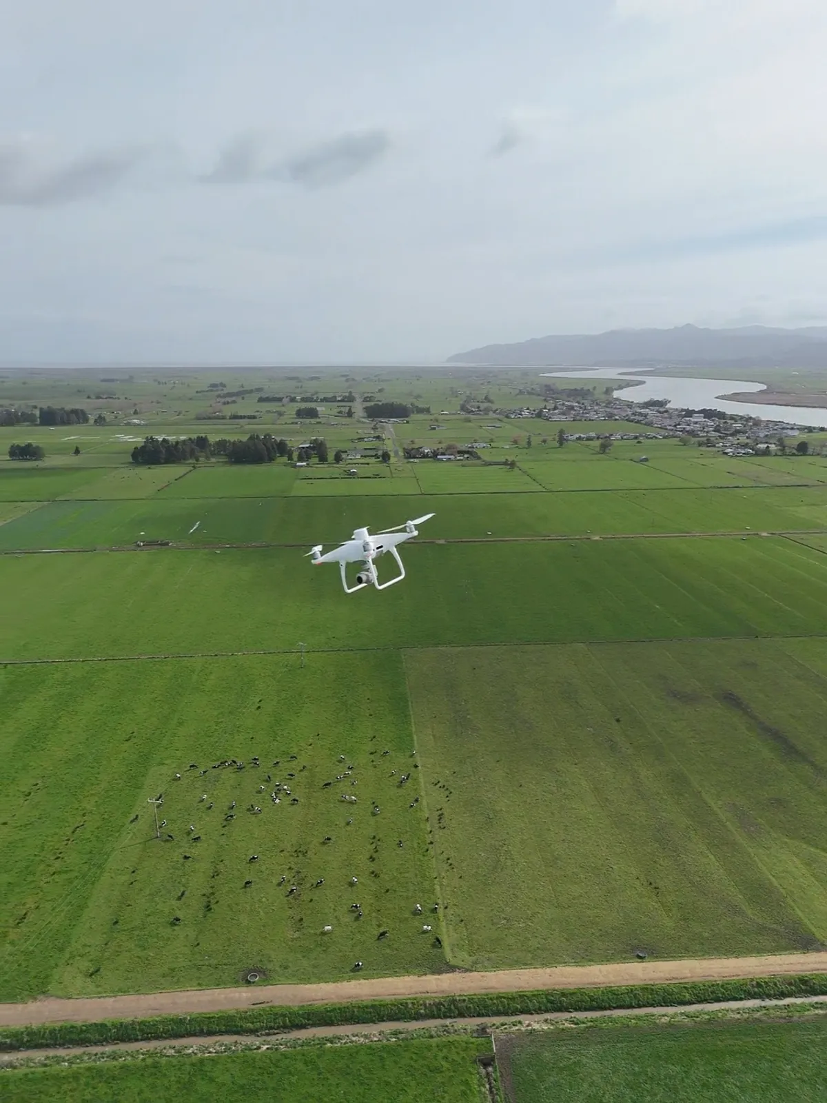
We fly your farm to the centimetre, cut the dead ground out of the map, and load the shapefile straight into MyBallance or Hawkeye. Your spreader only turns off where your map tells it to.
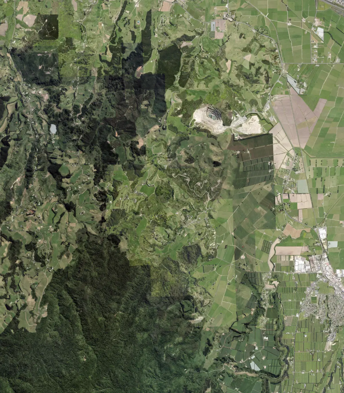
- RTK drone survey
- Exclusion zones
- Truck-ready shapefiles
Partner for a smarter spread.
Te Puke based, flying dairy and sheep and beef country across the Bay of Plenty and beyond.
Talk to DanFertiliser lands on troughs, gateways, shelterbelts and races every season. We map exactly where that happens, so the truck stops spreading on ground that never grows grass.
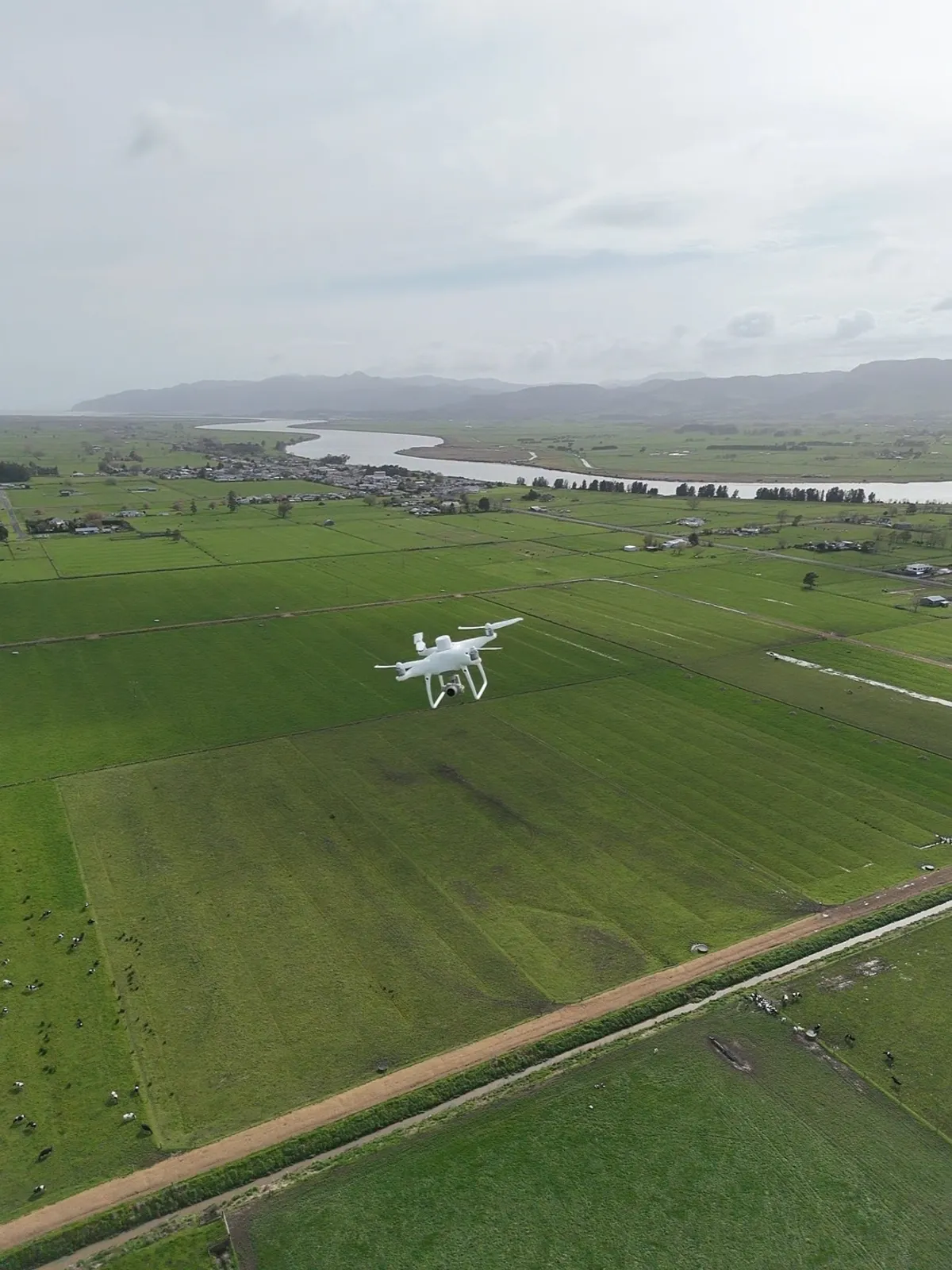
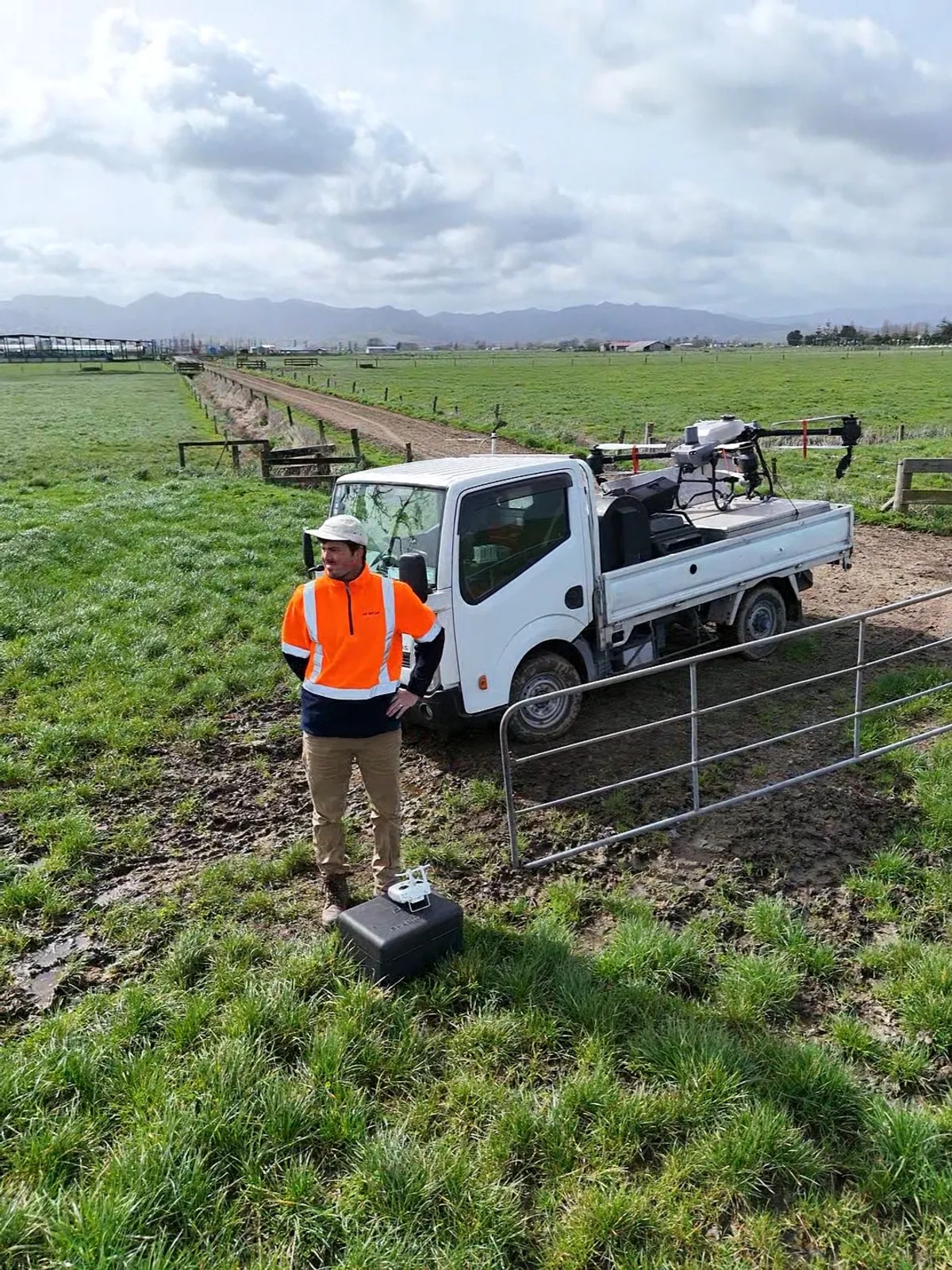
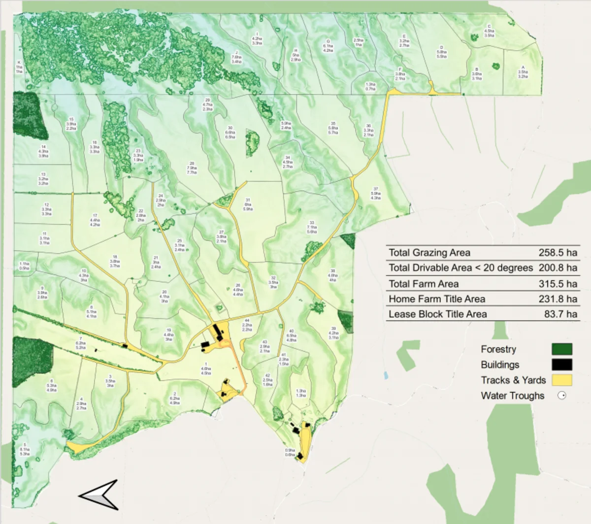
Three moves, one map.
- 01
Fly
RTK drones map your boundaries, raceways, trees and troughs to the centimetre. You do not need to be home.
- 02
Cut
We work out your true effective grazing area, then drop 20 m rings around troughs, gateways and shelterbelts, with 10 m setbacks along streams.
- 03
Load
The shapefile goes into MyBallance or Ravensdown Hawkeye. GPS section control shuts the spreader off over every exclusion zone.
Six things worth knowing.
Centimetre boundaries
RTK-corrected flight, so the line on the map is the line on the ground.
Trough and gateway rings
20 m exclusion around every water point and gate, where stock camp and fert is wasted.
Waterway setbacks
10 m buffers along streams and drains, ready for council and farm environment plans.
Effective grazing area
True paddock sizes, so feed breaks are right and you stop over-allocating grass.
Truck-ready shapefiles
.shp export loaded into MyBallance or Hawkeye. Auto section control does the rest.
Checked by Dan
Every map and every quote is reviewed by a person before anything is booked.
What is sitting in your paddocks.
Your titles, your price.
Find your farm, tap your titles, and the quote is worked out from the exact LINZ title area. Dan checks every one before it is confirmed.